Welcome to the Town of North Enid
Town of North Enid
Incorporated 1894
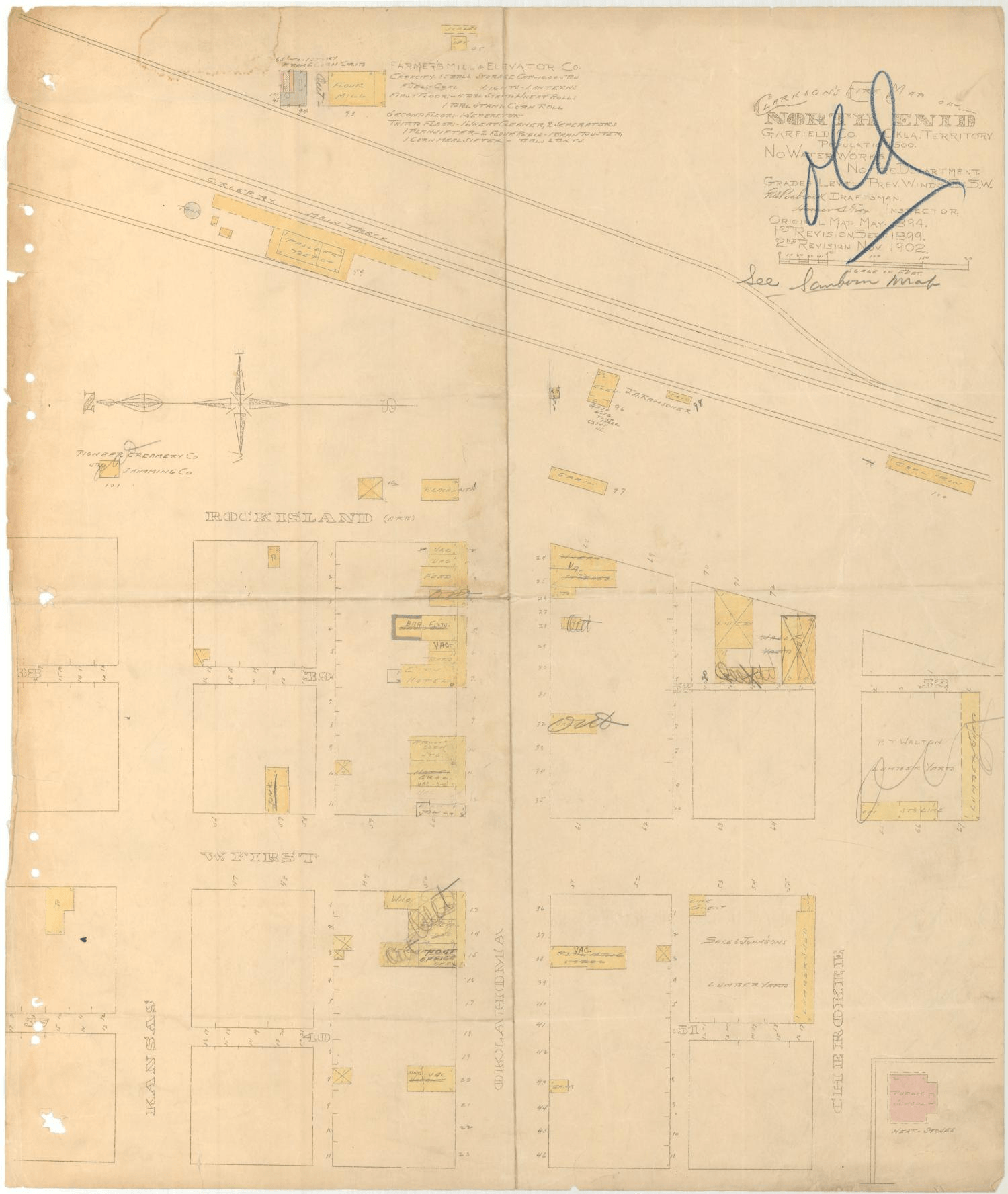
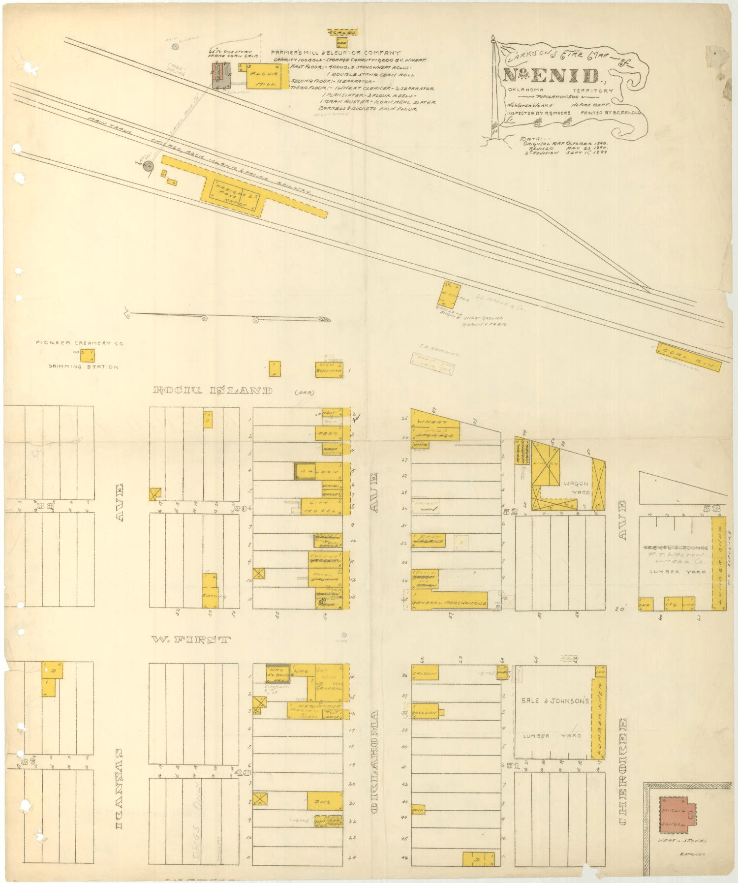
The town of North Enid, situated in Garfield County in north-central Oklahoma, began its existence in 1889 as Enid Station on the Chicago, Rock Island and Pacific Railway right-of-way in the Cherokee Outlet. Prior to the Cherokee Outlet land opening scheduled for September 16, 1893, the location was preliminarily designated as the site for the county seat of O County (later Garfield County), but before the opening it was discovered that four Cherokee allottees had taken land at or near the site. In order to avoid legal problems, the U.S. Department of the Interior changed the county seat designation to a place approximately three miles south of Enid Station. Following the September 16, 1893, Cherokee Outlet land run the Rock Island refused to stop any of its trains at the south location. The ensuing "Enid Railroad War," over whether the railroad town or the government town would dominate, lasted until August 1894 when legal action forced the Rock Island to open a station at the south town.
During this time North Enid was known variously as the depot town, Station of Enid, Railroad Enid, Old Enid, North Town, or North Enid, but the government town was known as Government Enid or South Enid. Despite the naming controversy the south town received a post office as Enid on August 25, 1893, and it was not until the following January 19 that a post office was established at North Enid. During a year-long struggle between the two towns North Enid maintained a population of approximately fifteen hundred. Its two-block-long business section boasted a variety of retail establishments, but the situation changed dramatically when they lost the fight for economic control of the area.
North Enid functioned for several decades as an agricultural center in the shadow of its larger neighbor. In 1900 the town had a population of only 205. By 1918 it had declined by nearly half, but it retained two grain elevators and a gristmill as well as a school, a bank, and a church. The town remained stubbornly independent for six decades despite a population that fluctuated between 100 and 200 and despite the loss of its post office in 1923.
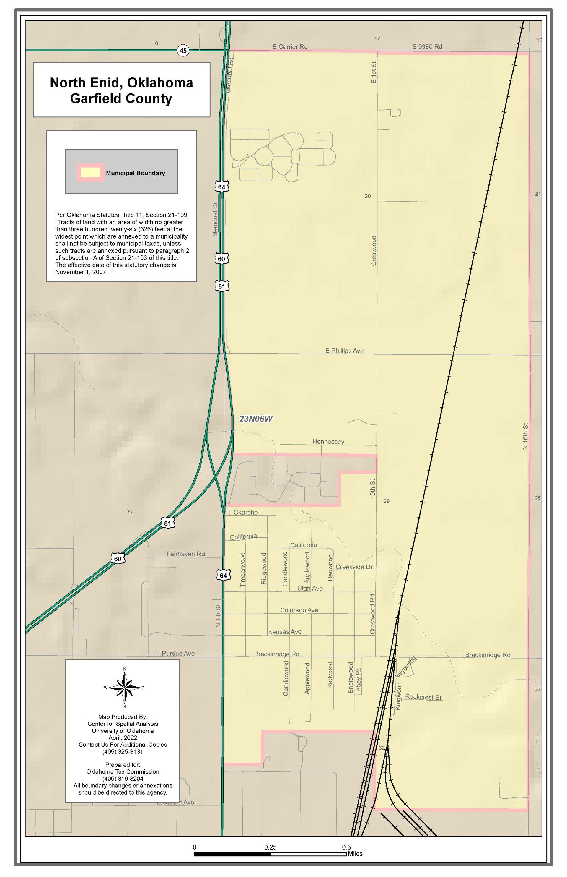
Between 1960 and 1970 North Enid experienced a spurt of growth as it began to develop into a "bedroom" community for an expanding city of Enid. The 1960 population of 286 exploded to 730 ten years later and to 992 in 1980. By 2000 North Enid occupied 2.25 square miles bordered by U.S. Highway 64 on the west and State Highway 45 on the north. The Union Pacific Railway bisects the town north and south. At the end of the twentieth century retail outlets and other amenities made the town viable.
Bobby D. Weaver
North Enid Streets
Abby Road
Applewood
Breckinridge Road
Bridlewood
California
Candlewood
Candlewood Circle
Carrier Road
Colorado
Creekside Drive
Crestwood
Hennessey
Kansas
Kingwood
Memorial Road
Okarche
Phillips Road
Redwood
Ridgewood
Rockcrest
Timberwood
Utah
4th Street
16th Street
Pictures from the Past
North Enid Public School
- 1911


